




5
Core Certifications
7
Training Specializations
15k+
Professionals to be certified
4+
Countries covered
4
Languages
5+
Strategic partnerships

Choose your pathway

Five progressive levels support QGIS users, analysts, web mapping specialists, developers and trainers.

01
thumb
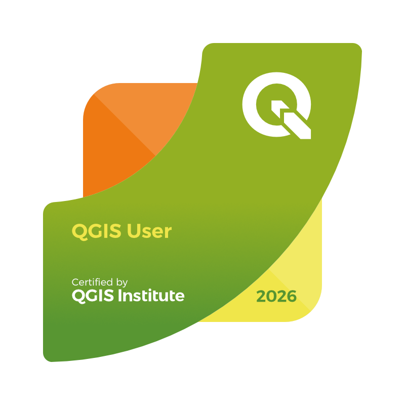
QGIS User

Master GIS Fundamentals and Professional Mapping

Duration
12 hours
Level
Beginner
Content
4 Modules
0.01 $ 0.02 $
Learn more
02
thumb
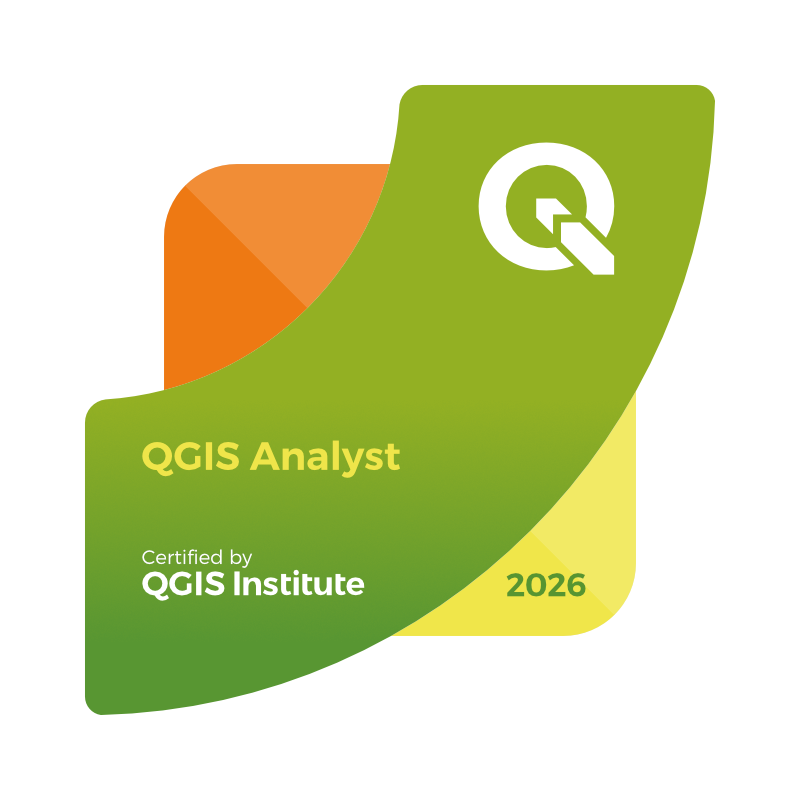
QGIS Analyst

Advanced Spatial Analysis, Databases and Cartographic Production

Duration
16 hours
Level
Intermediate
Content
4 Modules
0.01 $ 0.02 $
Learn more
03
thumb
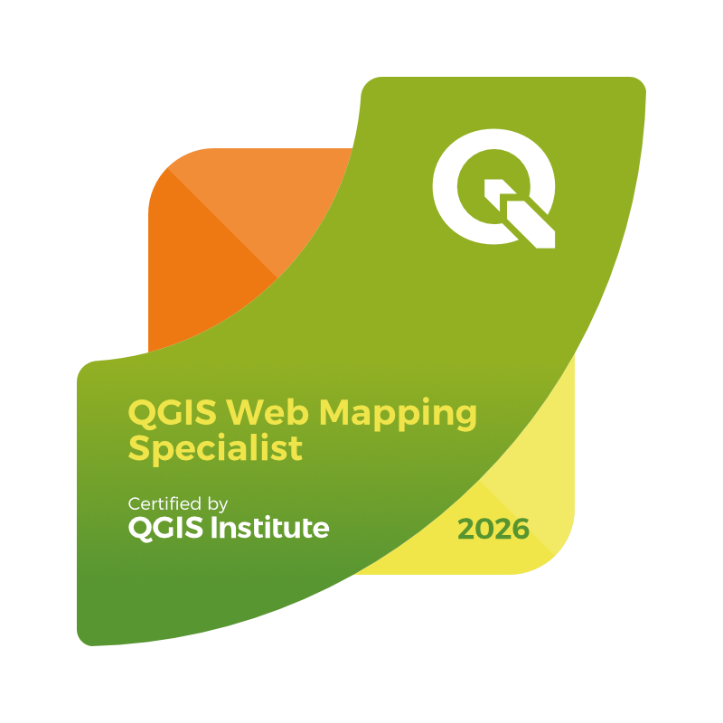
QGIS Web Mapping Specialist

Publishing Interactive Maps Online with QGIS Server

Duration
16 hours
Level
Intermediate
Content
4 Modules
0.01 $ 0.02 $
Learn more
04
thumb
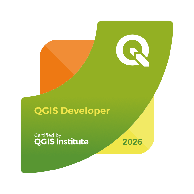
QGIS Developer

Mastering PyQGIS, Plugins and GIS Architecture

Duration
20 hours
Level
Advanced
Content
6 Modules
0.01 $ 0.02 $
Learn more
05
thumb
QGIS Trainer

Coming soon !

Duration
30 hours
Level
Advanced
Content
0 Modules
0.01 $ 0.02 $
Learn more

Specialize in your industry

Go beyond core competencies with focused training designed around real professional use cases.

Why GIS Institute ?

Internationally Accredited Certification

Our certifications comply with the highest international professional standards, recognized by employers, universities, and institutions in over 40 countries.

100% Online - Anytime, Anywhere

Sit your exam from your own workspace with AI-assisted remote proctoring. Four sessions are available each month with instant results for theory exams.

A Global GIS Community

Join thousands of GIS professionals, access local chapters, participate in GIS events, and build your international network.

Shareable Digital Badges

Every certification includes a verifiable Open Badge 2.0 ready to display on LinkedIn, resumes, and professional portfolios.

How It Works?

1
Select your route

Create your free account in under a minute and review the course syllabuses to choose the certification that best matches your experience and professional goals.

2
Prepare and practise

Purchase the learning package and progress at your own pace through structured lessons, practical exercises and real-world GIS activities.

3
Schedule your assessment

When you are ready, apply for the assessment and choose an available monthly examination window that suits your time zone.

4
Earn your credential

Meet the published assessment standard and receive a verifiable Certificate of Achievement issued by BeInCert Certifications S.L.

Testimonials

Pricing

Plans tailored to every profile, from students to international corporations.

Starter
Free

Explore QGIS Institute before committing.

  • Full syllabus access
  • Level diagnostic quiz
  • Community forum
  • 2 preview lessons per certification
Start for free
Enterprise / Institution
On request

For teams, universities, public institutions and NGOs.

  • Group pricing (-30% from 10 people)
  • Partner dashboard and reporting
  • Dedicated account manager
  • Co-branding available
Partnering with us
Partners and Institutional Members
BeinCert
Ready to turn your GIS skills into professional value ?
Choose a certification pathway, join a specialised training session or build a tailored programme for your organisation.
My Cart
0 Items

Your cart is empty

Start Browsing