On 26 August 2026, a wall of water tore down the Bhote Koshi and Trishuli rivers in Nepal. It began high in the Himalayas, near the China–Nepal border, when a mass of ice and rock crashed into a river and, days later, a lake that had pooled behind the debris burst. The flood was so violent it first registered on seismographs as a magnitude 4.4 earthquake. By early September the death toll had passed a thousand, thousands more were missing, and the UN estimated more than 84,000 people affected across six districts.
In the response to a disaster like this, one question dominates the first hours: where, exactly, is the water now? And there's a frustrating problem hiding inside that question, one that explains why a particular, less-famous kind of satellite data matters so much.
The problem with looking down at a flood
The intuitive way to map a flood is to look at it from above with a camera. Satellite imagery, aerial photos, just see where the water is.
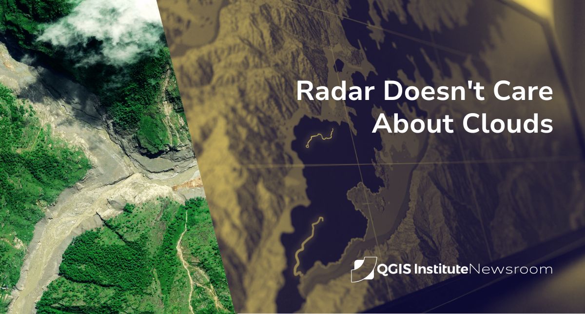
Except you usually can't. Floods are caused by storms, and storms come with thick cloud cover. A flood during an active monsoon, like Nepal's, sits under exactly the conditions that blind an ordinary optical satellite. The camera points down and sees the tops of clouds. The water it's trying to map is somewhere underneath, invisible.
This is not a small inconvenience. The window when flood-extent information is most valuable, the first hours and days, when people are still being rescued and evacuation decisions are being made, is precisely when cloud cover is heaviest. Optical imagery tends to become useful again only after the emergency has partly passed.
Radar sees what the camera can't
This is where Synthetic Aperture Radar (SAR) changes the picture, quite literally.
Instead of passively collecting sunlight the way a camera does, a SAR satellite emits its own microwave signal toward the ground and measures what bounces back. Two consequences follow, and both matter enormously for disaster response.
First, because it provides its own signal, SAR works in complete darkness. Day or night makes no difference.
Second, and this is the crucial part, those microwaves pass straight through clouds. Cloud cover that renders an optical camera useless is effectively transparent to radar. A SAR satellite passing over flooded, storm-covered Nepal sees the ground, not the weather.
And water has a distinctive radar signature. A calm water surface acts like a mirror for the radar signal, reflecting it away from the satellite rather than back toward it. On the returned image, flooded areas show up as smooth, dark patches, clearly distinct from the rougher, brighter texture of dry land. Mapping the flood becomes a matter of finding the dark, smooth regions, a task well suited to both analysts and automated classification.
From a radar pass to a decision
Getting from a satellite overhead to a usable flood map runs through a chain that will sound familiar if you read our first issue on wildfire mapping:
The raw SAR scene is acquired, then corrected for terrain distortion, radar geometry stretches and compresses the image depending on slope, and in a country as mountainous as Nepal that correction is not optional. The scene is reprojected into a coordinate reference system that matches the other data in play. Water is then classified from the radar backscatter, often by comparing the flood-time image against an archived "before" image of the same area to isolate what has newly become water. Finally, the flood extent is pushed to the people who need it: search-and-rescue teams, humanitarian coordinators, and government agencies.
None of this is hypothetical for Nepal. In this disaster, the International Charter "Space and Major Disasters" was activated at the request of Nepal's Department of Hydrology and Meteorology, the mechanism by which space agencies worldwide task their satellites, including SAR platforms, to acquire imagery over the affected area and hand it to responders. UN agencies including UNDP folded satellite-based damage assessment into their rapid-response frameworks within days.
The sharp lesson underneath this disaster
There's a detail in the Nepal event that every GIS and disaster-response professional should sit with.
Nepal was not unprepared. It had a flash-flood early warning system, developed with Chinese and Nepali scientists, that had been credited with preventing casualties in the past. It failed to catch this one in time, because the system's water-level monitors were optimized for monsoon and seasonal floods, and the upstream stations were simply swept away by the surge before they could send an alert. One analyst described the region as a monitoring "blind spot."
The lesson isn't that the technology was bad. It's that every monitoring system embeds assumptions about the kind of event it's watching for, and a disaster that violates those assumptions can move straight through it. Ground-based river gauges assume the water rises through a channel they're sitting in. A wall of ice-melt and debris that destroys the gauges themselves breaks that assumption completely.
This is exactly why layered, independent data sources matter so much in disaster GIS. Satellite SAR doesn't depend on surviving ground infrastructure. It doesn't care whether the gauges are still standing, whether the power is on, or whether clouds have swallowed the valley. It just looks, through the clouds, in the dark, and reports what's actually there.
Why we're covering this
Flood mapping with radar is one of the clearest answers to the question this newsletter keeps circling: what is geospatial work actually for?
It's not for making tidy maps after the fact. In a live disaster, it's the difference between responders knowing where the water is and guessing. The techniques involved, SAR interpretation, terrain correction, change detection, coordinate handling, are exactly the kind of unglamorous, high-consequence GIS discipline that doesn't make headlines but sits underneath the ones that do.
Our thoughts are with everyone affected in Nepal. And our respect goes to the analysts who, in the middle of it, were turning radar returns into maps that helped someone decide where to send the boats.